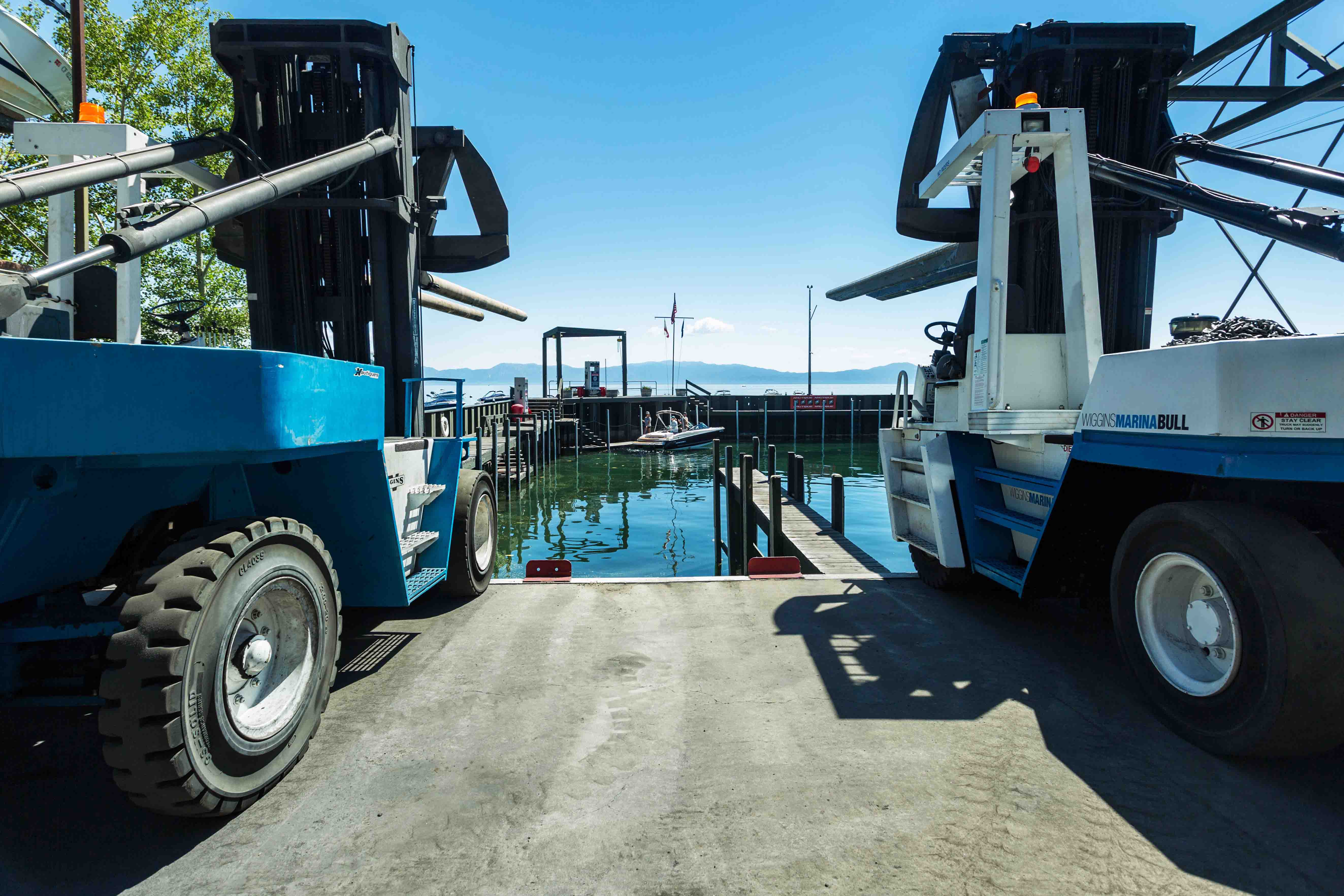
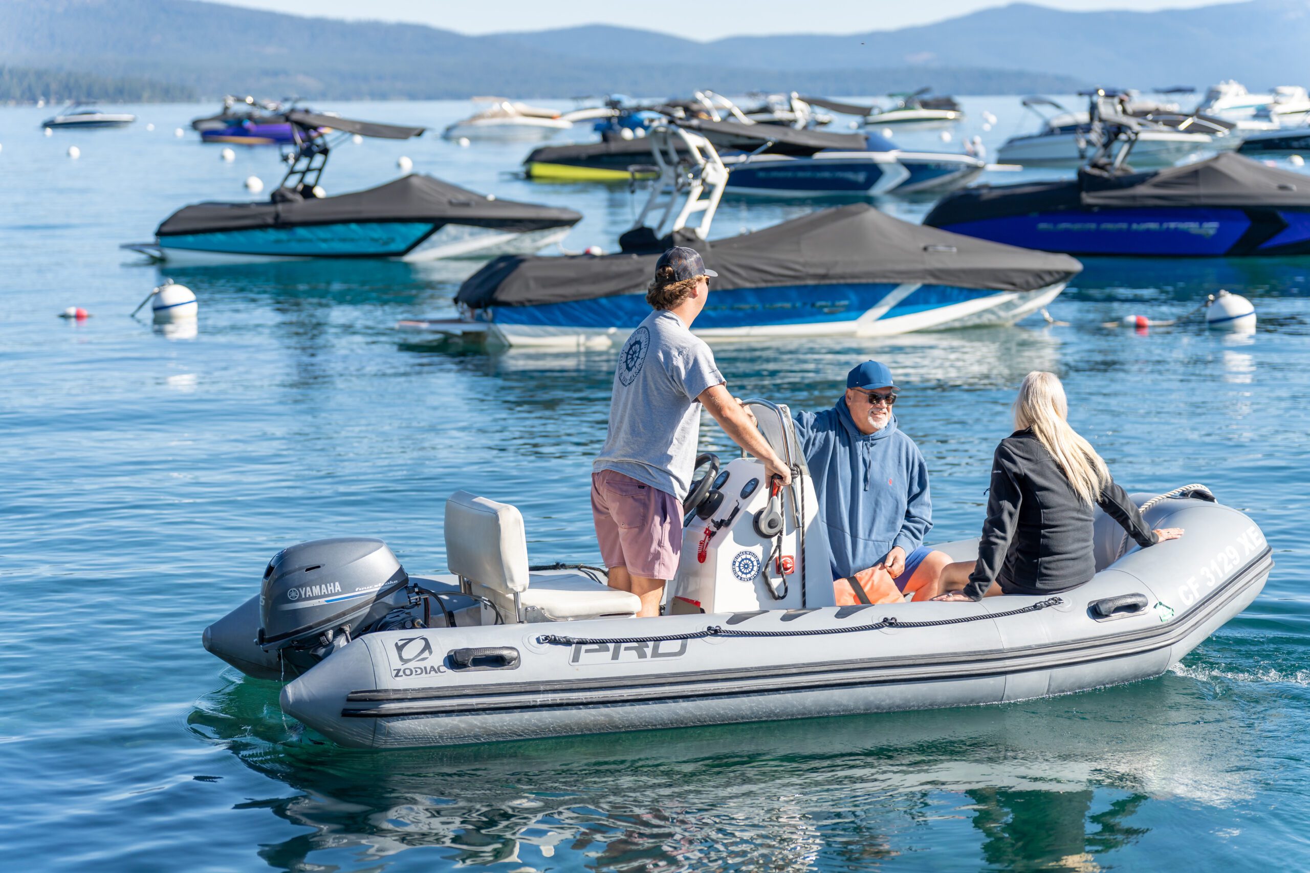
Homewood High & Dry Marina has been serving the Lake Tahoe Basin since 1967 and were the first in the area to utilize dry rack storage. The friendly and knowledgeable staff prides themselves in delivering first rate customer service whether you are storing your boat, having your boat serviced or just stopping by to fuel up.

MAY, JUNE & SEPTEMBER
7 days a week
8 a.m. to 5 p.m.
JULY & AUGUST
7 days a week
7a.m. to 6p.m.
OCTOBER THROUGH APRIL
Monday through Friday
8 a.m. to 5 p.m.
From Sacramento:
East on Interstate 80 approximately 100 miles to Truckee. Take the “Hwy. 89 Lake Tahoe” exit (it’s immediately after the Donner Lake exit), turn right onto Highway 89 and travel 13 miles to Tahoe City. At Tahoe City, turn right at the roundabout onto Highway 89 for another 6 miles to Homewood Mountain Resort on your right. Watch for parking signs.
From Reno:
West on Interstate 80 approximately 35 miles, take the “Hwy. 89 Lake Tahoe” exit, turn into the round-about and go back under the freeway toward Tahoe City (13 miles away). At Tahoe City, turn right at the roundabout onto Highway 89 for another 6 miles to Homewood Mountain Resort on your right. Watch for parking signs.
From South Lake Tahoe:
Follow Highway 89 North along the lake to Homewood Mountain Resort. During winter conditions call 1.800.427.ROAD to make sure it’s open.
From Lake Tahoe:
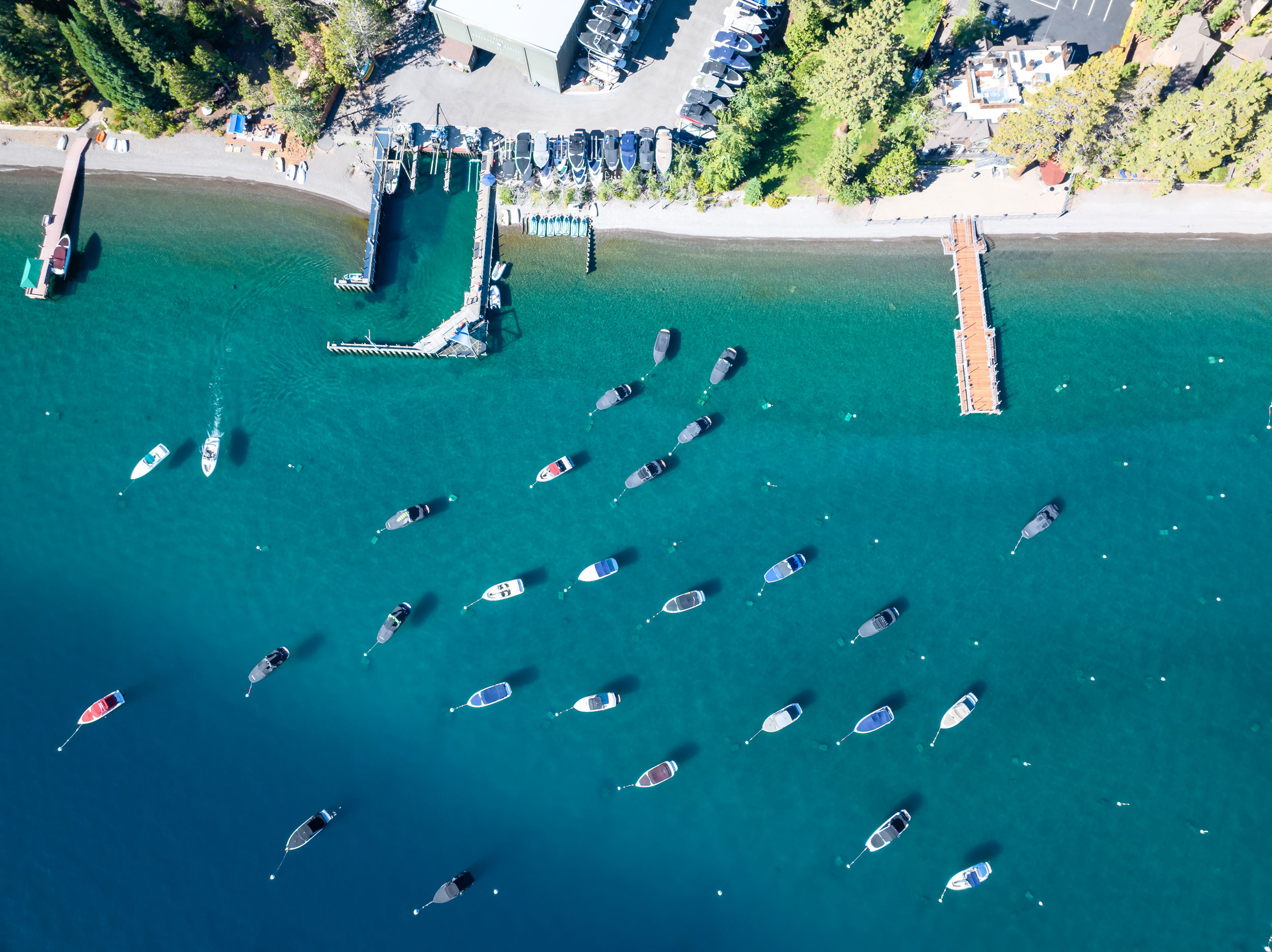
If you are boating into our dock from Lake Tahoe we are located north of Meeks Bay and South of Sunnyside. Look for the ski runs of Homewood Mountain Resort, we are positioned right next to the resort. Click for a view of the marina from the lake.

Lake Tahoe is the second deepest lake in the United States with an average depth of 1,000 feet and a maximum depth of 1,645 feet. The actual depth of the lake fluctuates daily based on the lake level.
The Lake Tahoe Basin was formed by geologic block faulting which created the Carson Range on the east and the Sierra Nevada on the west. Glacial scouring during the Ice Age shaped the lake and the surrounding landscape.
While many streams flow into Lake Tahoe there is only one outlet at the Truckee River, which flows northeast through Reno and into Pyramid Lake.
Lake Tahoe is 22 miles long and 12 miles wide with a circumference of 72 miles. The water temperature near the surface fluctuates between 40-50 degrees Fahrenheit during the winter months to 65-70 degrees Fahrenheit in the summer.
Source: USGS


